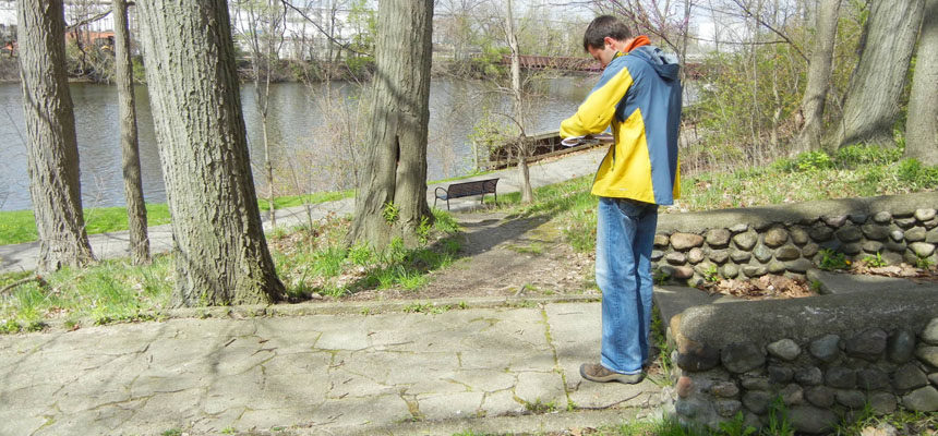
Doing a site visit is a fundamental part of the design process for us as landscape architects. We visit a site (at least) once for every project we design as one of our first steps in the design process.
So, you can imagine my surprise when I saw a drafting/aerial imagery software company promoting their product by saying that with it you no longer have to waste time visiting a site that you are designing. Wow! That’s quite a claim! This could be a game changer.
This software was challenging my assumptions of the design process. Is technology allowing for us to change our methods for developing landscape plans? It was time to do some soul searching and answer the question; Why do we do a site visit before designing?
To tackle this question, I first considered my past experiences. I’ve been on at least one site visit for every site that I’ve been on the design team for. When I think about these site visits, I’m reminded of the ways that I have better understood the site context when I’ve been on-site. These experiences have enabled me to develop a design that is appropriate for that particular site. Let me elaborate on this by sharing my experiences as they relate to scale, views and a couple other hard to understand things when you’re only looking at an aerial photograph or topographic survey.
Scale
Understanding the scale of a site is a critical aspect of designing an appropriate landscape plan. This is true about other things in life, too. A few days ago, I saw this picture of the Halloween candy that a friend was planning to give out this year.
Everything seemed normal. He has the typical snack size candy bars in an orange plastic pumpkin. The sort of pumpkin that we’ve all seen candy in. You know, the one that is about a 9” sphere.

But then I read his caption, where he said that he had 140 FULL SIZED candy bars in this pumpkin. Woah. Talk about a misunderstanding of scale. That pumpkin must be huge!
In a similar way, when we visit a site, we take into account the relationship between the buildings (or proposed building) on and off-site. We observe the scale of the existing vegetation. And we consider the impact of the change in topography.
Having a clear understanding of building, vegetation and topographic scale was critical when we were working with Delhi Township and the design team to obtain site plan approval for Willoughby Estates. On our site visit, we evaluated the slope of the existing berm (topography) and the scale of the mature evergreen and deciduous trees (vegetation) that were growing on top of the berm. We then considered the daily experience that the residents of the proposed 2- and 3-story buildings would have. Because we visited the site, we could confidently communicate to the municipality that the existing buffer adequately met the intent of their screening ordinance.


Views
When I think about going on a site visit, one of the first things that comes to mind is that we’ll need to take note (and pictures) of key views. We want to evaluate which views we want to highlight and which we want to screen. This is important both for users of the proposed site and users of the adjacent sites.
When we conducted our site visit of Willoughby Estates, we evaluated the views from the neighbors to the east of the property. These residents were concerned. They had gotten used to Willoughby Estates’ land being vacant. They weren’t excited about the prospect of a high density multi-family development being within their viewshed. We considered their concerns when we evaluated the natural buffer that exists along the eastern boundary of the site. We prepared an exhibit for the developer to use in order to convince the neighbors and the municipality that they had nothing to worry about.


Even in winter when there were no leaves on the trees, the existing vegetation formed a dense buffer for the neighbors presumably undesirable views (4). From that same location, we turned 180º and look across the pond and into the site. Across the pond, a dense evergreen screen will be preserved to block views all year long (3). These and other images along with our compilation of them allowed the developer to keep moving forward while staying on good terms with the neighbors.
Other Elements Properly Understood By A Site Visit
Now, there are several other elements that we evaluate in order to get a full understanding of a site that you can’t easily learn about by simply looking at a topographic survey or an aerial image. I’m thinking of things like utilities, vegetation quality, soil composition, and current uses.
On the topographic survey, the locations of electrical poles are delineated along with one simple line that represents the electrical wires. This is very helpful, but it doesn’t tell the full story. The survey doesn’t indicate how tall the wires are. It isn’t clear if there is one wire or if there are several and how wide they stretch. This information is important to know so that we don’t select street trees that will grow into the wires.
An aerial image shows pretty clearly where vegetation is. However, it isn’t clear from aerial photography if the vegetation is good quality or poor quality. What seems like a tree that you potentially will want to preserve can turn out to be quite the opposite when you see it in person. We visited a site in SE Michigan where we were doing a landscape plan for a Credit Union Branch. The aerial photograph made it look like we could use several existing trees to meet the township’s tree ordinance. However, when we saw the existing trees we reevaluated our position. Some of the trees needed significant pruning. Others were not in a good enough condition to make it worthwhile to preserve them.


For the trees that we proposed saving, we were able to assess their conditions while on-site. We then made notes on the landscape plan instructing the landscape contractor to prune them in order to achieve a desirable shade tree appearance. We also specified tree protection fencing on the landscape plan. This ensures that the tree roots and trunks are protected during construction.
Neither a topographic survey, nor an aerial image will tell you anything about the soil composition of the site in question. When we visit a site, we use a soil probe to core out a 1” diameter cross-section of soil in a few locations on the site. We use this soil core to understand the makeup of the soil. Is it sandy? Or is it predominantly clay? Depending on what we learn, we select plants that will thrive in the soil type of that particular site.
Another observation that isn’t recorded on a topographic survey or aerial image is who currently uses the site and how they use it. It never ceases to amaze me the insights that I get when I visit a site and see people doing things that I would’ve never expected. And it’s not just people. A site visit allows us to understand what animals call this place home…or lunch.


With these observations, we can make educated design decisions to accommodate or discourage certain uses. And we can select plants that are less palatable to animals, like deer and rabbits, that devour newly installed plant material.
Is A Site Visit Really Necessary?
So, let’s get back to the original question. Can technology replace the need for a landscape architect to visit a site before designing a landscape plan? My answer is a resounding no. The benefits far outweigh the costs. The information gained by experiencing a site enables the designer to tailor the landscape plan and ultimately improve the user’s experience of that particular site. Therefore, we avoid the downfall of designing cookie cutter landscapes that ignore a site’s unique constraints. Going on a site visit is rightfully the first step in the design process, and it is the first step in creating unique places where people want to spend their time!
This is super well-written, Kristin! I thoroughly enjoyed reading it to the very end! Keep on writing about these aspects of Landscape Architecture that we do not routinely think about, but make perfect sense once they are articulated!
Thanks! I’m glad that you learned something new!